
Red River Greenway Study
Background Information
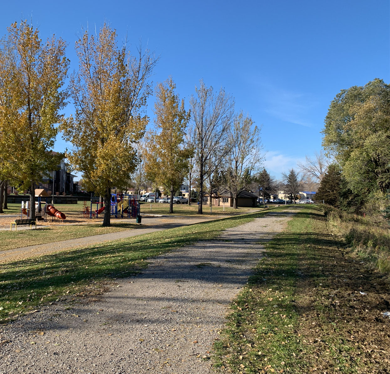
The Fargo-Moorhead Metropolitan Area (FM Area) has a long, sometimes arduous, and complicated historic relationship with the Red River. The community has persevered through countless flood events and other flood-related issues, which are natural occurrences in the Red River Valley. Through collaborative planning efforts and infrastructure projects, the Red River corridor has become a major asset to the FM Area, providing bicycle and pedestrian trails and greenway facilities including parks, open spaces, recreational facilities, natural habitat, and cultural areas, all within publicly owned spaces that cannot be developed due to the floodplain and floodway. Collectively, these uses, and facilities make up the Red River Greenway system. The City of Moorhead completed a Red River Greenway study in 2014. The scope of this study focuses on the Fargo side of the Red River and public drains that connect to the river within the City of Fargo.
The Study focuses on enhancing (or repairing) the greenway as it currently exists, filling greenway facility gaps within the existing network, extending the greenway to the north and south along the Red River in Fargo or its near-term growth area, and connecting to and incorporating public drainage channels (Drains 27 and 53) and associated existing or planned facilities along those channels. Connections to the north and south termini of the FM Diversion Project and to Moorhead and Clay County adjacent to the incorporated areas of Fargo were also studied. Greenway facilities include but are not be limited to:
- Shared use paths and trails including access to, from, and between said facilities
- Parks
- Open spaces
- Natural habitats
- Cultural areas
Bicycle and pedestrian facilities are consistently a top transportation priority for FM Area residents. Metro COG and its partnering agencies see the Red River Greenway as one of the most important features to provide biking, walking, and other modal options within the Fargo-Moorhead Area.
Project Objective
This Red River Greenway Study takes a comprehensive look at the greenway’s bicycle & pedestrian networks, parks, open spaces, natural areas, cultural areas, and analyze access to and from said greenway system and said features. The study seeks input from the public and local jurisdictions, and provides recommendations and guidance to meet the needs of the community and improve the greenway system for all users. This Study seeks to improve upon past planning efforts in order to make a safe, connected, equitable, accessible, and welcoming greenway experience for all types of users. This study is coordinated with the outcomes of the Bicycle and Pedestrian Plan Update.
As noted above, the last consultant-lead Red River Greenway Study was completed in 2008 and looked at both North Dakota and Minnesota sides of the Red River. The Moorhead River Corridor Master Plan in 2014 expanded upon the 2008 plan however, looked only at the Minnesota side of the river. Study requirements included public engagement, a robust implementation and prioritization section, planning level cost estimates and conceptual layouts for priority future projects, and new ideas to make the Red River Greenway more accessible, more rideable, more walkable, and more consistently available for not only pedestrians and bicycle users but other recreational users with consideration of the seasonal nature of activity in the FM Area.
The Red River Greenway Study update began in October of 2021 and was completed in March of 2023.
Project Resources
Project Contact Information
Ari Del Rosario
701-532-5102
Dan Farnsworth
701-532-5106
Fargo-Moorhead Metropolitan Council of Governments
Case Plaza, Suite 232
1 - 2nd Street North
Fargo, ND 58102